
EPA Adds St. Louis Environmental Data to EnviroAtlas Online
– EPA Region 7 Feature –
Environmental data for the St. Louis area is now available on EPA’s interactive, web-based tool called EnviroAtlas, which contains data and maps for 48 states and 1,400 cities and towns.
The fine-scale data available at the urban/community level can be used to inform decisions related to comprehensive urban planning, transportation, children’s health, green infrastructure, parks, greenways and more.
EnviroAtlas combines maps, analysis tools, fact sheets, and downloadable data into an easy-to-use, web-based resource that allows users to understand the implications of various planning decisions and analyze relationships between nature, health and well-being, and the economy. The tool includes data for towns and cities ranging in population from 1,500 to 9.8 million and from exurban to fully urbanized communities.
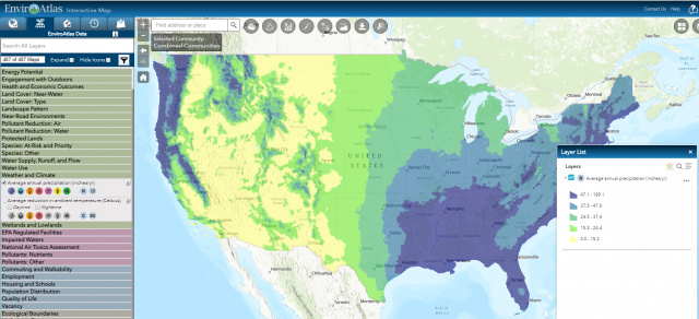
All EnviroAtlas data layers are available via a mobile-friendly, web-based, interactive mapping application that does not require additional software or specialized skills to use.
- Learn more about EnviroAtlas
- Learn more about the new St. Louis data